The United Nations General Assembly has officially endorsed the "Correct the Map" resolution, a landmark initiative that advocates for the adoption of cartographic projections that more accurately represent the physical scale of the world’s continents. In a decisive vote held in early September, 164 member states signaled their support for moving away from the 16th-century Mercator projection—which historically distorts the size of northern landmasses while shrinking Africa and other equatorial regions—in favor of equal-area alternatives such as the Equal Earth projection. This resolution, spearheaded by Togo and backed by the African Union, represents more than a technical update to classroom maps; it is a profound symbolic victory for African nations seeking to rectify historical imbalances in how the continent is perceived, documented, and valued in the international arena.
The campaign, which has been gaining momentum among geographers and activists for over a decade, argues that the dominance of the Mercator projection—originally designed for maritime navigation in 1569—has created a persistent, subconscious bias in global political and economic perception. By disproportionately magnifying the size of Europe and North America at the expense of the African continent, the traditional map has, according to proponents, reinforced a Eurocentric worldview that diminishes Africa’s geopolitical significance.
A Chronology of the Shift in Cartographic Diplomacy
The movement to "Correct the Map" is not an isolated event but rather the culmination of years of advocacy by African diplomats, historians, and educators.
- 2010–2015: The "Decolonization of Knowledge" movement gains traction in academic institutions. Historians and cartographers begin formal debates regarding the influence of colonial-era imagery on contemporary perceptions of the Global South.
- 2018: The Equal Earth projection is introduced by a team of cartographers to provide a visually pleasing and accurate alternative to existing map standards, sparking renewed interest from international NGOs and educational bodies.
- 2022: Mali, Burkina Faso, and Niger initiate a strategic shift in their foreign and domestic policies, moving away from reliance on former colonial power France. This political decoupling sets the stage for broader cultural and educational reforms.
- October 2025: The Malian government formally removes French history from its national school curriculum, shifting the focus to indigenous West African history, signaling a radical break from colonial-era pedagogical structures.
- September 2026: The United Nations General Assembly adopts the resolution favoring equal-area projections, with 164 nations voting in favor. The United States emerges as the sole dissenting vote.
The Geopolitics of Mapping and Symbolism
Robert Dussey, the Foreign Minister of Togo, has been the primary architect of the UN campaign. Speaking to international media, Dussey framed the resolution as a matter of justice and dignity. "Finally, Africa is fighting to regain its place in the community of nations," Dussey stated. He argued that the current global map is fundamentally unfair, noting that it fails to reflect the reality of Africa in historical, geographical, and economic terms.
For the Togolese diplomat, the debate over projections is inextricable from the wider struggle to reclaim African identity. By redrawing the map, the global community is effectively acknowledging that geography is not a neutral science but a social construct capable of conveying power dynamics. The move has been welcomed by the African Union as a necessary step toward decolonizing the mental and physical landscapes of the continent.
The United States’ Dissent and the Politics of Renaming
The lone opposition to the resolution came from the United States. While the U.S. mission did not provide an exhaustive public rationale for the vote, the stance aligns with the current administration’s broader strategy of assertive nationalism and symbolic politics. Under the leadership of President Donald Trump, the U.S. has engaged in various acts of cartographic and nomenclature-based interventions.
Recent executive orders issued by the White House have sought to rename geographical features, including the Gulf of Mexico to the "Gulf of America" and Lake Ontario to "Lake America." Critics of these moves view them as an extension of the same "Great Power" projection that the UN resolution seeks to challenge—an attempt to claim ownership of space through the branding of landmarks and the imposition of national identity onto international geography.
Economic and Educational Implications: The Cost of Stereotypes
The "Correct the Map" initiative is intrinsically linked to the "Africa No Filter" movement, which focuses on the economic and social consequences of biased reporting. A significant report published by the organization, titled The Cost of Media Stereotypes to Africa, suggests that the continent loses an estimated $4.2 billion annually in inflated interest payments and reduced foreign investment. This loss, according to the report, is a direct result of media narratives that consistently portray the continent through the lenses of poverty, corruption, and instability.
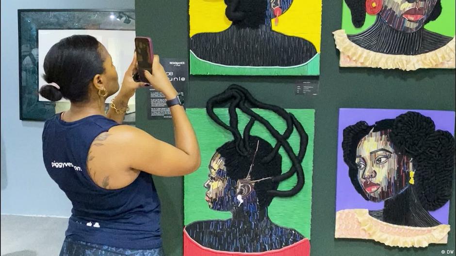
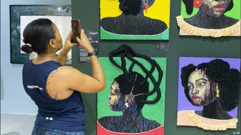
Francois Bouda, an officer for arts and culture at Africa No Filter, emphasizes that this "narrative tax" is an internal as well as an external problem. "We have accepted the image of a continent incapable of taking care of itself," Bouda remarked. "We’ve internalized this, even though many positive things are happening." The #NotWaiting campaign, which Bouda helps lead, seeks to encourage Africans to document their own stories, moving away from narratives curated by foreign media outlets.
Educational Reform as Intellectual Independence
The shift toward historical sovereignty is perhaps most visible in the classroom. In Mali, the decision to replace French history with the study of ancient West African kingdoms—such as the Mali Empire and the Songhai Empire—is described by historians as an act of "intellectual independence."
Philemon Mtoi, a historian at Tumaini University Makumira in Tanzania, notes that the loss of historical curriculum has historically left nations without a compass. "A country without a strong understanding of its own history is like a country without clear leadership and direction," Mtoi explained. "By focusing on local research and the preservation of African history, countries like Mali, Ghana, and Tanzania are not just updating their textbooks; they are strengthening patriotism and national identity."
However, Mtoi offers a nuanced warning: the goal of decolonization should not be the total erasure of global history. "It is important to acquire a profound knowledge of significant events in world history, such as the French Revolution," he said. "But this should be balanced with a foundation that centers the African experience." In Tanzania, this balance is being implemented through the introduction of mandatory "Tanzanian History and Ethics" courses taught in Swahili, which now serve as the primary curriculum, ensuring that the national language and heritage take precedence in the formative years of student education.
Analysis: Beyond the Map
The success of the "Correct the Map" resolution and the rise of educational reforms in the Sahel indicate a significant shift in the global order. For decades, the intellectual framework—the maps we use, the history we teach, and the news we consume—has been defined by a Western-centric perspective. The current push from African states is a multi-pronged strategy to dismantle these structures.
The economic implications are clear: when a continent is perceived as "small" or "peripheral," it is treated as such in trade negotiations, lending markets, and diplomatic summits. By demanding accurate representations of their geography and reclaiming the narrative of their history, African nations are signaling that the era of passive reception is over.
The #NotWaiting movement and the UN resolution are, in essence, the same project: the assertion that Africa is a continent of agency. Whether through the lines drawn on a globe or the chapters written in a history book, the objective is to ensure that the "community of nations" is, for the first time, a truly balanced one. As these initiatives continue to evolve, the challenge for the international community will be to move past the defensive posture represented by the U.S. vote and engage with a world that is no longer content to be viewed through the lens of another’s historical convenience.
Conclusion: A New Cartographic Reality
As the world adjusts to the implications of this resolution, the focus will likely shift to the implementation phase. Will international publishers adopt the Equal Earth projection? Will school boards across the globe integrate these new, more accurate standards? The success of the "Correct the Map" campaign suggests that the tide of intellectual and cultural decolonization is rising.
For the millions of people across the 54 countries of Africa, the resolution is a validation of their place in the world. It is a reminder that maps are not merely representations of land, but of values. By choosing a map that shows Africa at its true scale, the United Nations has taken a small, yet profoundly significant, step toward acknowledging the true weight and importance of the continent in the 21st century. The #NotWaiting campaign continues to capture the spirit of this movement, highlighting that change is not something that happens to Africa, but something that is being built, day by day, by the people living on the continent. The era of being defined by the colonial gaze is coming to a close; in its place, a new, more accurate, and more autonomous history is being written.